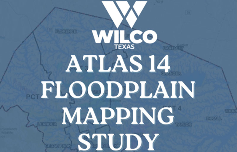
Williamson County Adopts Atlas 14 Floodplain Maps: What It Means for Flood Risk, Development, and Homeowners
For homeowners, developers, and families across Williamson County, a major shift in how flood risk is measured—and managed—is now officially in place.
The Williamson County Commissioners Court approved the adoption of the Atlas 14 Floodplain Mapping Study on March 24, marking a significant step toward more accurate floodplain data, stronger infrastructure planning, and safer long-term growth across the region.
This update doesn’t just change maps—it changes how the county prepares for the future.
Why Atlas 14 Matters for Williamson County Residents
Flooding is not a distant concern for Williamson County—it’s a lived reality for many residents. Over the past decade, the area has experienced repeated severe weather events, including the Memorial Day floods in 2015, Hurricane Harvey in 2017, and most recently, the July 5, 2025 floods.
With nearly 5 million Texans living or working in high-risk flood zones, according to the American Society of Civil Engineers’ 2025 Texas Infrastructure Report Card, the need for updated, localized data has become increasingly urgent.
The Atlas 14 study introduces modern rainfall data from the National Oceanic and Atmospheric Administration (NOAA), replacing outdated models that have historically underestimated rainfall intensity and flood risk.
For residents, this means:
- More accurate identification of flood-prone areas
- Better-informed development decisions
- Increased transparency about flood risks near homes and neighborhoods
What Is the Atlas 14 Floodplain Mapping Study?
The NOAA Atlas 14 rainfall data, first provided to Texas in 2018, reflects updated precipitation patterns based on decades of historical data and modern analysis. In response, the Texas Legislature directed the Texas Water Development Board (TWDB) in 2019 to identify flood risks statewide and develop mitigation strategies.
Williamson County began its study in 2021, supported by TWDB grant funding, with several key goals:
- Update floodplain maps using the latest scientific rainfall data
- Model streams and waterways that had never been previously studied
- Collect detailed topography and drainage infrastructure data
- Identify strategies to reduce future flood risk
The process included public meetings in 2022 and a final meeting in April 2025, where residents contributed firsthand accounts, photos, and experiences with flooding—adding a critical human layer to the technical data.

What Changes Now That Atlas 14 Is Adopted?
With formal adoption by the Commissioners Court, the Atlas 14 study now carries regulatory authority in unincorporated areas of Williamson County.
This means:
- The county can officially regulate newly identified floodplains
- Permits will be required for development or encroachment in these areas
- Updated rainfall data will guide drainage and infrastructure planning
For property owners and builders, this could impact:
- Where and how future construction can occur
- Flood insurance considerations
- Property evaluations and long-term land use
While regulatory changes can feel complex, county officials emphasize that the goal is long-term protection—reducing risk before the next major storm hits.
A Community-Informed Approach to Flood Safety
What sets the Williamson County Atlas 14 study apart is the level of community involvement behind it.
Residents didn’t just observe the process—they contributed to it.
From sharing flood photos to describing how water moved across private property, those real-world experiences helped shape a more complete and accurate understanding of flood behavior across the county.
That blend of science and lived experience is now embedded in the final maps.
What Happens Next for Williamson County?
Now that Atlas 14 has been adopted, the focus shifts to implementation and awareness.
Residents can:
- View updated floodplain maps
- Learn how their property may be affected
- Provide additional information about flooding conditions
The county continues to encourage community participation as conditions evolve. For more information or to explore the maps, residents can visit wilcotx.gov/Atlas-14.
The Bigger Picture: Planning for Growth and Resilience
As Williamson County continues to grow, the adoption of Atlas 14 represents more than a technical update—it’s a reflection of how the community is adapting to changing environmental realities.
With stronger data, clearer regulations, and ongoing public engagement, the county is positioning itself to make smarter decisions about infrastructure, development, and safety.
For residents, it’s a reminder that growth and resilience go hand in hand—and that preparation today can help protect homes, families, and neighborhoods tomorrow.
Stay connected with My Neighborhood News for continued updates on Williamson County infrastructure, floodplain mapping, and community development.
 Tiffany Krenek has been on the My Neighborhood News team since August 2021. She is passionate about curating and sharing content that enriches the lives of our readers in a personal, meaningful way. A loving mother and wife, Tiffany and her family live in the West Houston/Cypress region.